What it is
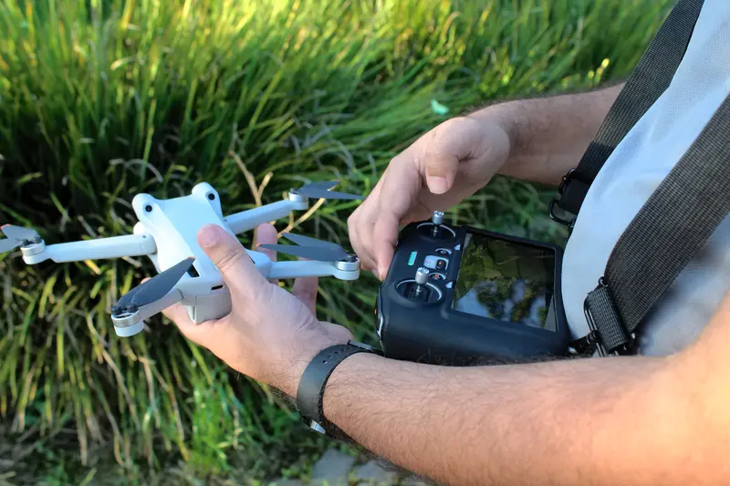
A small unmanned aerial vehicle fitted with a camera, used to observe and record a location from above.
In TECER
It was used to observe the antenna installation points before and during the field deployment in Tururi, in the Terra Indígena Caru, helping assess the terrain and the vegetation around the village and the Forest Guardians’ bases. The aerial footage shot by the drone also recorded the forest and the village throughout Phase 1, as seen in the photos accompanying the project diary.
Last updated on